

Table of Contents
Tai To Yan (Razor’s Edge Ridge) Will Burn Your Legs But Reward Your Soul With Stunning Panoramic Views
If you’re seeking an adventurous yet rewarding hike in Hong Kong, Tai To Yan (Razor’s Edge Ridge) should be at the top of your list. This trail is not only a test of endurance but also a journey through some of the most stunning and untouched scenery in the New Territories. Its dramatic ridge-top path, with views of lush valleys, towering mountains, and even the distant Shenzhen skyline, makes it a favorite among seasoned hikers looking for a challenge. However, this hike is also family-friendly for those accustomed to outdoor adventures. With the right preparation, families can enjoy this unique ridge walk together.

Julia and I have been hiking Tai To Yan since 2014, long before Peri and Kai were born, and it has always held a special place in our hearts. Over the years, this ridge walk has become more than just a trail to us; it’s a place where we’ve shared countless moments of awe, reflection, and connection with nature. Recently, we had the privilege of experiencing this hike again, this time with our boys. Seeing Peri and Kai tackle the same trail we’ve cherished for so long made the experience even more meaningful, turning it into a beautiful family tradition that we’ll continue to treasure.
Our most recent journey along Tai To Yan was a perfect mix of challenge and joy. As a family of experienced hikers, we were excited to tackle this iconic route with our two young sons, Peri (5) and Kai (4). From the moment we started ascending the ridge, the sense of excitement was palpable. Each step brought new views, fresh challenges, opportunities for risky play, and an opportunity to bond as a family. The trail demanded focus and effort, but it rewarded us with moments of awe and achievement that we’ll carry with us forever.
As we navigated the ridge’s narrow paths, Julia and I drew upon our years of hiking with children to ensure a safe and enjoyable experience. We encouraged Peri and Kai to embrace the adventure, and watching them conquer the trail was a heartwarming reminder of the resilience and determination children are capable of when supported by their families.
What makes Tai To Yan truly special is its balance of difficulty and accessibility. The trail is challenging enough to feel like a true accomplishment yet manageable with the proper planning and preparation. For families who love the outdoors and are willing to push their limits, this hike is an unforgettable experience that brings the joy of discovery and the satisfaction of a well-earned achievement. Whether you’re navigating the steep ascent or marveling at the expansive views from the ridge, Tai To Yan promises an adventure like no other.
If you’re ready to take on this rewarding challenge, read on for everything you need to know to prepare for your hike and make the most of this breathtaking trail.
If you have any comments/questions, please leave them below.
Introduction
Tai To Yan, or Razor’s Edge Ridge, offers some of the best ridge-top views in Hong Kong. From its peaks, you can marvel at Tai Mo Shan, and Cloudy Hill, and even catch glimpses of Shenzhen across the border. While the trail’s name hints at its sharp, undulating path, it’s a family-friendly trek for those with hiking experience. My wife Julia and I found this trail pushed us to draw on our expertise, ensuring Peri and Kai stayed safe and energized throughout.
If you’re ready for an exciting family hiking challenge, Tai To Yan should be on your Hong Kong adventure list.
Trail Description and Points of Interest
Trail Information – Fast Facts Tai To Yan (Razor’s Edge Ridge)
- Trail Difficulty: Challenging. Only family-friendly if you’re seasoned hikers.
- Distance: 9.1 km (5.69 miles)
- Elevation Gain: 868 m (2849 ft)
- Duration: 4–5 hours
While the pictures below give you a preview of our experience hiking Tai To Yan, we suggest you download our route map (linked below in the “Trailhead and Route” section), and use that to navigate along this spectacular hike.
To begin Tai To Yan, you’ll get off the bus on Lam Kam Road, and although you’ll be hiking Tai To Yan, you’ll have to walk through the Wishing Tree Village first. Peri found this collection of Taoist God statues very interesting.

As you make your way through the village, you’ll eventually walk past the HKAYP Jockey Club Duke of Edinburgh Training Center.
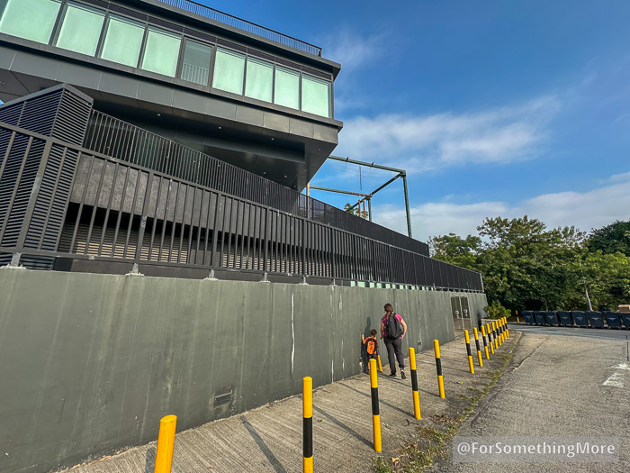
Eventually, you’ll head downhill on the Ngau Kwu Leng Path.

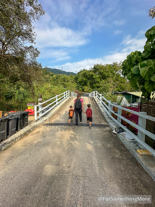
A few minutes later, you’ll cross this bridge. Afterwards, the uphill climb begins.
For the duration of the first major uphill, these signs indicate your progress. Kai found them very engaging!

In only a few minutes, you’ll begin to get views of the Lam Tsuen Valley.
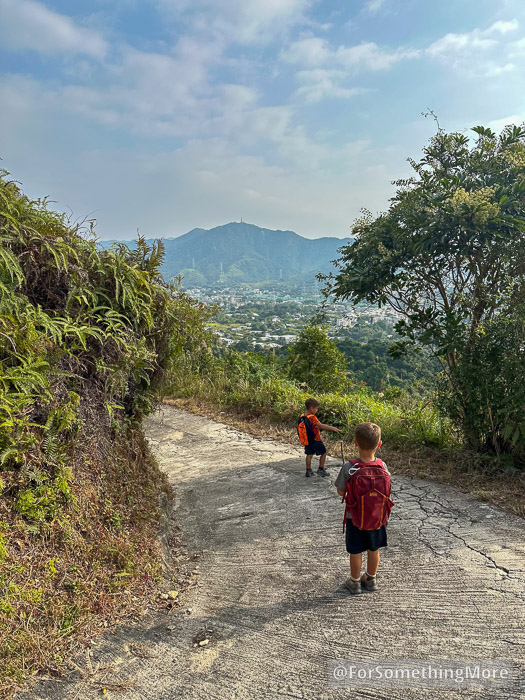
This road is steep! Don’t hesitate to sit right down and take a break.
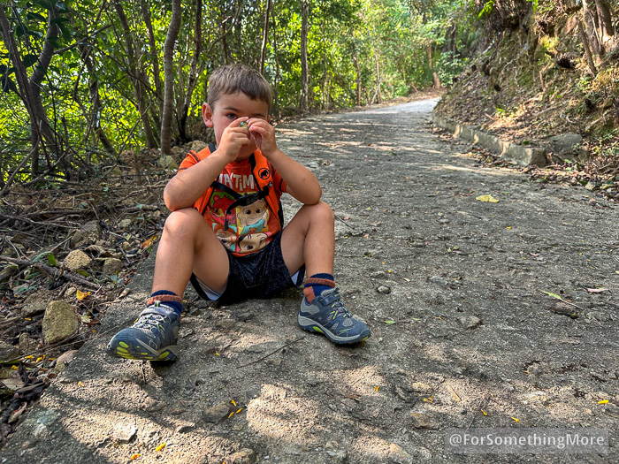
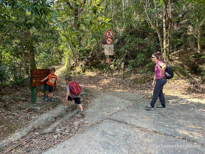
Eventually, you’ll reach the top of the road, and then the dirt section of the trail begins.
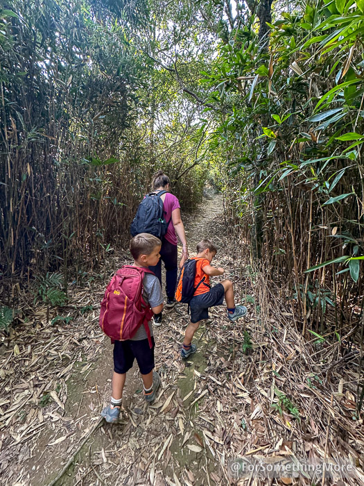
You’ll hike through a bamboo forest for a while.
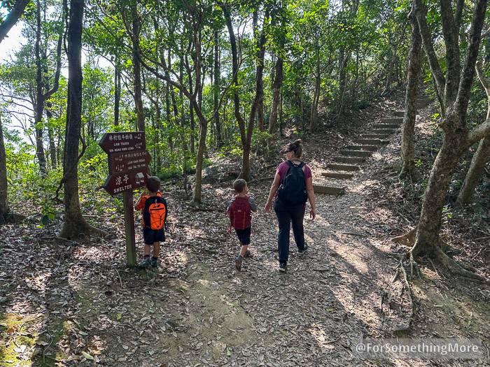
Eventually, you’ll reach this sign. Head up the stairs towards Tai To Yan.
This will be your first sweeping view of the Lam Tsuen Valley.
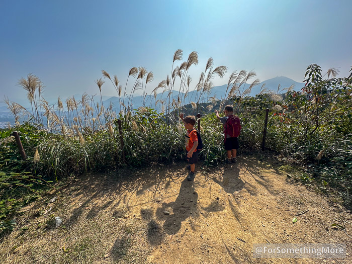
Pak Tai To Yan is the first summit you’ll reach. From here forward, the views only get better.
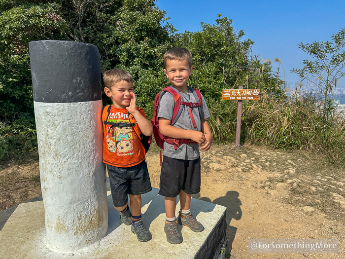
Continue to follow the signs to Tai To Yan.
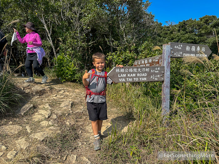
Keep going toward Tai To Yan.
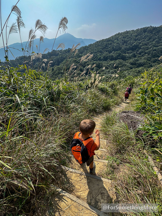
At this point, you’ll start encountering these wooden stairs. Step carefully, as they pose a tripping risk. Hiking poles are great in this section.

Again, follow the signs to Tai To Yan.
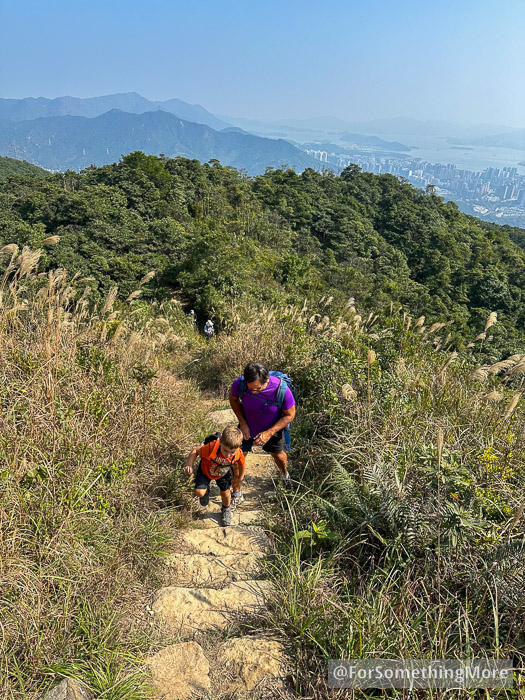
By now you’re well onto the ridge, but there are some climbs.
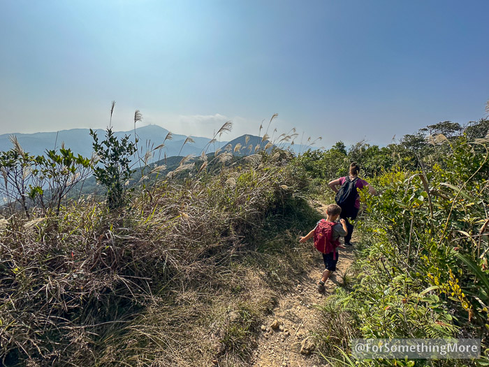
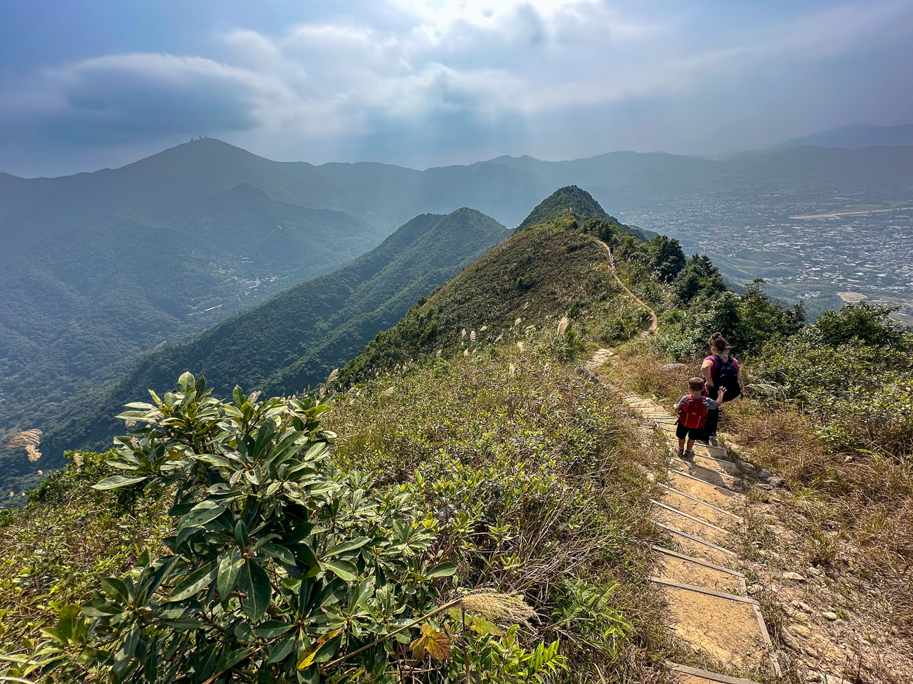
Eventually, the ridge levels out. At this point, you’ll begin to get some of the best views on the entire hike.

Despite the easy terrain here, the boys love holding Mommie’s hand. We savor these young years and are grateful to be able to do so much adventure parenting.
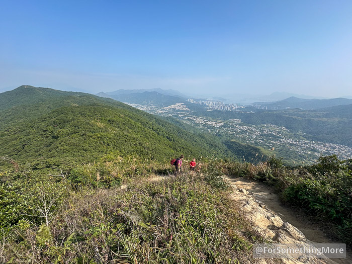
You’ll do a bit more climbing, here.

Eventually, you’ll reach the summit of Tai To Yan.
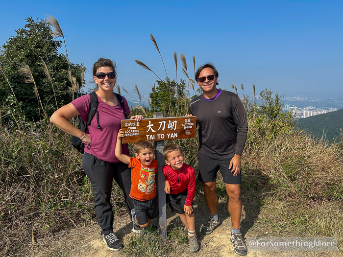
A mere 7 years later…
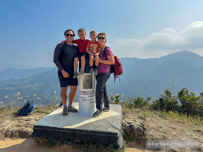
This is the actual summit marker of Tai To Yan, which is a nice spot for a family photo.
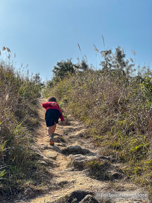
Don’t hesitate to lean into it. At this point, your legs will likely be a bit tired.
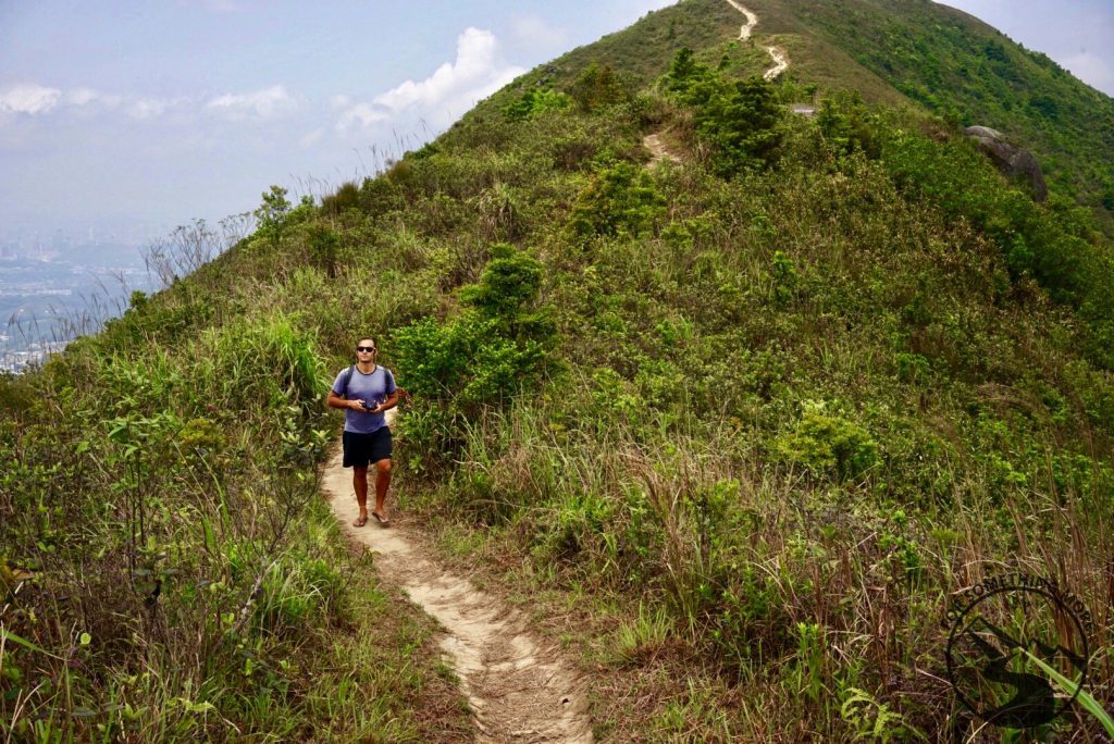
The ridge is a great place to stroll and take in the views.

The boys loved playing in this Silver Grass.
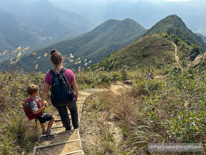
The views of Ma Tsai Tung North Peak and Ma Tsai Tung South Peak (the nearest and farthest peaks, respectively) dominate this section of the trail.
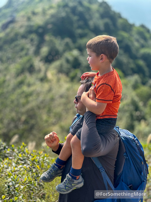
Kai-Kai needed a little leg rest, and I’m always glad for a bit more of a workout.

This section of trail has chain railings due to the steep dropoffs.
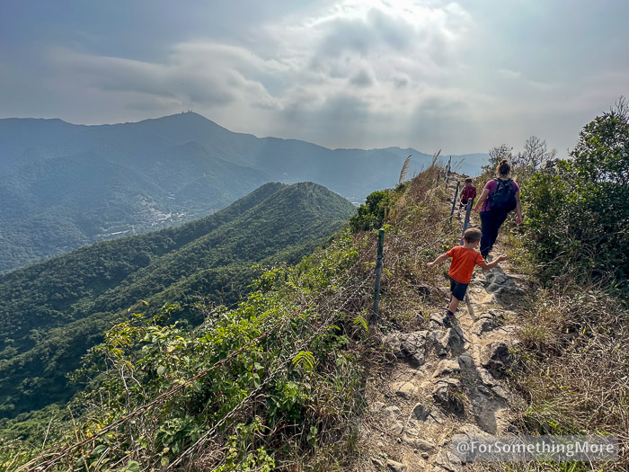
Quite a different experience hiking this section with Peri and Kai.

These are some of the best views of Tai Mo Shan.

After a long and steep descent, you’ll reach this forested part. When you do, you’ll be near the end of your Tai To Yan hiking experience.
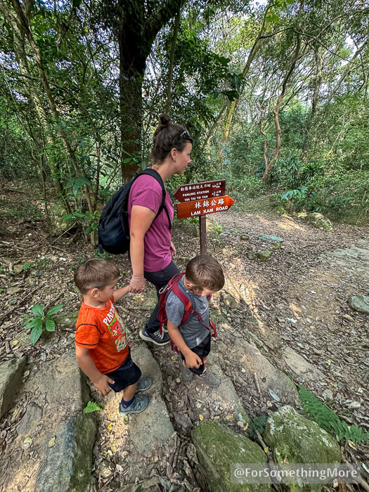
Follow the sign to Lam Kam Road.
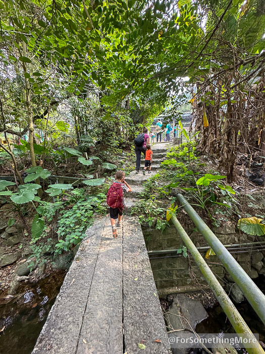
Cross this small bridge.

Feel free to sit on the ground at the Kadoorie Farm bus stop. You’ll have earned some rest!

And if you’re hungry by now, we highly recommend the Pakistani food at Tasty House, as it’s about a 7-minute bus ride away from Kadoorie Farm.
Recommended Gear
Preparation is the key to a successful hike on Tai To Yan (Razor’s Edge Ridge). The trail’s challenging terrain, exposure to the elements, and lack of amenities along the way require you to be well-equipped. Having the right gear can make your adventure safer, more comfortable, and ultimately more enjoyable. Here’s a detailed breakdown of what you should bring for this rewarding hike:
1. Water and Hydration
Water is arguably the most critical item for this hike. Tai To Yan is an exposed trail with no water sources, so carrying enough water is essential to avoid dehydration.
- Recommended Amounts: Bring at least 3 liters per person in summer and 2 liters per person in cooler months.
- Preferred Containers: We use insulated water bottles, which keep water cold in summer and warm in winter.


2. Sun Protection
The ridge’s exposed terrain means you’ll be under direct sunlight for most of the hike, making sun protection non-negotiable.
- Wide-Brim Hat: A hat with good coverage will protect your face, neck, and ears.
- Sunscreen: Apply a high-SPF sunscreen before starting and reapply during breaks.
- Sunglasses: A sturdy pair of UV-protective sunglasses will reduce eye strain and enhance comfort on sunny days.
- Sun Umbrella: Particularly useful in the summer, a lightweight, reflective sun umbrella can provide shade and reduce heat exposure.


3. Suitable Clothing
Your clothing should be light, breathable, and appropriate for the season.
- Quick-Dry Layers: Opt for moisture-wicking fabrics that help you stay cool in summer and warm in cooler months.


- Raincoat or Windbreaker: A lightweight raincoat or windbreaker is essential if there’s any chance of rain or wind.


4. Hiking Footwear
Your shoes will greatly impact your experience on the steep ascents and descents of Tai To Yan.
- Mid-Weight Hiking Shoes: Look for shoes with good grip and ankle support. Lightweight hiking boots are also a great choice if you prefer more stability.


- Hiking Socks: Avoid cotton socks, as they retain moisture and can lead to blisters. Opt for wool or synthetic blends.


5. Hiking Poles
Hiking poles are invaluable on Tai To Yan, especially during the descent.
- Why They’re Important: Poles reduce strain on your knees and provide extra stability on uneven terrain.
- Adjustable Options: Choose collapsible poles that are easy to pack when not in use.

6. Navigation Tools
Though the trail is well-marked in most sections, having a reliable navigation tool ensures you stay on course.
- GPS Map: Download our detailed GPS map of Tai To Yan for offline use. See below.
- Power Bank: Your phone’s battery may drain quickly if you’re using GPS and taking photos. Carry a power bank for backup.

7. Food and Snacks
Energy-packed snacks are a must to keep your stamina up during the hike.
- Energy Bars and Nuts: Lightweight and easy to pack, these are excellent sources of energy.
- Fresh Fruit: Pack fruits like bananas or apples for quick natural sugar boosts.
- Lunch or Picnic: If you plan to take a longer break, pack a light lunch to enjoy at one of the scenic spots along the ridge.


8. Emergency Kit
While the trail is popular, it’s always better to be prepared for unexpected situations.
- First Aid Kit: Include essentials like adhesive bandages, antiseptic wipes, and blister pads.
- Whistle: Useful for signaling in case of an emergency.
- Thermal Blanket: Lightweight and compact, it can provide warmth if needed.

9. Miscellaneous Essentials
These small items can make a big difference during your hike.
- Lightweight Backpack: A comfortable, well-fitted backpack with compartments for organization.


- Camera or Smartphone: Capture the stunning views, but don’t forget to pack it securely to prevent damage.


- Trash Bag: Practice Leave No Trace principles by carrying out all your trash.
10. Seasonal Adjustments
Tailor your gear to the season to ensure maximum comfort and safety.
- Winter Additions: Gloves and a thermal layer for cooler temperatures.
- Summer Additions: Cooling towels or a neck gaiter for added sun protection.
With the right gear, you’ll not only be prepared for the challenges of Tai To Yan but also fully equipped to enjoy the beauty of this incredible trail. Being well-prepared is especially important for families, as it ensures that younger hikers, like our sons Peri and Kai, can tackle the trail confidently and safely. Don’t skimp on your packing list—every item plays a crucial role in making this hike a memorable adventure!
Family Hiking Safety Tips
Hiking with your family is a rewarding experience, but safety should always come first. Here are essential tips to ensure a secure and enjoyable hike on Tai To Yan:
- Plan and Prepare
Research the trail, check weather conditions, and pack essentials like water, snacks, and a first aid kit. Study the terrain and set realistic expectations based on your family’s abilities. - Pace and Breaks
Take regular breaks to rest and hydrate, especially on the steep sections. Plan for extra time as hiking with kids can take longer.

- Keep Kids Engaged
Use games like “I Spy” or teach them about the trail’s nature and geography. Celebrate milestones along the way to keep spirits high. - Stay Together
Keep younger hikers close, especially on steep or narrow ridges. Use clear communication to manage stops or hazards. - Pack the Right Gear
Carry enough water, energy-packed snacks, layered clothing, and sturdy hiking shoes. Include a whistle, rain gear, and navigation tools like a GPS map. - Adapt to Conditions
Be flexible and ready to change plans if weather or trail conditions worsen. Always prioritize safety over completing the trail. - Practice Leave No Trace
Teach kids to respect nature by staying on the trail, packing out trash, and observing wildlife without disturbing it.
By planning well and staying vigilant, you can make Tai To Yan a safe and memorable family adventure.
Trail Head and Route
Trail Information – Fast Facts Tai To Yan (Razor’s Edge Ridge)
- Trail Difficulty: Challenging. Only family-friendly if you’re seasoned hikers.
- Distance: 9.1 km (5.69 miles)
- Elevation Gain: 868 m (2849 ft)
- Duration: 4–5 hours
Tai To Yan Route Map
Our route begins on Lam Kam Road at the Fung Ma Po bus stop near the Lam Tsuen Wishing Tree (Wong Nai Chung Reservoir Park (GPS coordinates: +22.455681, +114.142543). You can call this the “trailhead.” Our route ends at the Kadoorie Farm bus stop. (GPS coordinates: +22.433506, +114.117375).
The easiest way to get to the Fung Ma Po bus stop is by taking the MTR to Tai Wo Station and then taking either the 25K minibus or the 64K double-decker bus.

We suggest you start at the Fung Ma Po bus stop and hike to the Kadoorie Farm bus stop, as we think this direction affords you the best views. However, you can certainly do this route in reverse.
If you’ve read any of our other guides about hikes in Hong Kong, such as the one on Tai Mo Shan you’ll know that the cell service on the Hong Kong trails can be quite spotty. That’s why we recommend you download GuruMaps. It’ll allow you to navigate the trails of Hong Kong (or anywhere in the world for that matter) even if you have no service.
In short, if you want to follow along with our route map, even when you have no service, you’ll need to do three things.
1. Download the GuruMaps app.
2. Download our Tai To Yan route map. Do that by clicking on any of the links in the top right-hand corner of the map below. You can choose from the file formats of GPX, KML, or GeoJSON.
3. Open that downloaded route map file using the GuruMaps app.
Once you’re done, you’ll have a copy of our Tai To Yan route map on your device, and it’ll work even without service!
If you’d like to use Google Maps, we’ve got your back. But again, it might not work on parts of Tai To Yan.
Tai To Yan Elevation Profile

Nearby Hikes
Hong Kong’s New Territories are a treasure trove of hiking opportunities. If you’re looking to extend your adventure, consider these trails:
- Ng Tung Chai Waterfalls
A family-friendly hike featuring cascading waterfalls and shaded forest paths. Perfect for cooling off after the heat of Tai To Yan. - Tai Mo Shan
Hong Kong’s highest peak offers panoramic views and a relatively easy ascent, making it ideal for families. - Cloudy Hill
Part of the Wilson Trail, this hike challenges your stamina with steep inclines but rewards you with expansive views. - Pat Sin Leng
This ridge walk is longer and more demanding but offers incredible views of the Plover Cove Reservoir. - Buffalo Hill and West Buffalo Hill
These grassy ridges in Ma On Shan Country Park offer stunning views of Sai Kung and Tolo Harbour. Perfect for seasoned hikers, they provide a peaceful escape and breathtaking landscapes.
These hikes add a unique flavor to your outdoor adventures and cater to varying difficulty levels.
Final Thoughts – Tai To Yan
Tai To Yan is more than just a hike for us; it’s a trail woven into the fabric of our family’s journey. Having hiked it since 2014, it holds layers of meaning—from our early days when Julia and I tackled it together to the recent adventure of sharing it with Peri and Kai. Watching our boys rise to the trail’s challenges brought a sense of pride and nostalgia, reminding us of how much this ridge has been a part of our lives and milestones.
For families who share a love for the outdoors, Tai To Yan is more than a destination—it’s an experience of resilience, connection, and discovery. The breathtaking views, exhilarating terrain, and the memories created along the way make it an adventure worth treasuring.
FAQs
- Q: What should I do if I have more questions?
A: Feel free to reach out through the provided contact options or leave a comment in the article’s comment section. - Q: What makes the Tai To Yan (Razor’s Edge Ridge) hike unique?
A: Tai To Yan, also known as Razor’s Edge Ridge, is one of the most beautiful and least crowded hikes in Hong Kong. The trail offers stunning views of Tai Mo Shan, Cloudy Hill, Shenzhen, and even the Pat Sin Leng Ridge. Its challenging yet rewarding terrain makes it a must-add to any Hong Kong bucket list. - Q: How difficult is the hike, and what is the distance?
A: The hike is challenging, covering approximately 8.4 km (5.2 mi) with an elevation gain of 630 m (2066 ft). It starts at Fung Ma Po Bus Stop and ends at Kadoorie Farm Bus Stop. - Q: What gear do I need to bring for this hike?
A: Essential items include water (3L per person in summer, 2L in cooler months), sun protection (sunscreen, sunglasses, wide-brim hat, sun umbrella), a raincoat, a power bank, suitable hiking shoes, and hiking poles for steep descents. - Q: Is there water available along the trail?
A: No, there are no water sources along the route. It’s crucial to bring enough water with you. Public restrooms at Fung Ma Po have sinks where you can refill before starting. - Q: What is the best time of year to hike Tai To Yan?
A: The hike is ideal during the cooler months, but with proper preparation, it can also be done in the summer. - Q: How do I get to the trailhead?
A: Take the MTR to Tai Wo Station, then board either the 64K bus or the 25K mini-bus to Fung Ma Po Bus Stop. Use a GPS map of the hike to navigate the route. - Q: Are there alternative routes for this hike?
A: Yes, there are multiple access points, but the route starting at Fung Ma Po and ending at Kadoorie Farm is the most spectacular and convenient via public transit. - Q: Is the trail suitable for beginners?
A: This hike is considered challenging due to the elevation gain and steep descents. It’s better suited for experienced hikers or those with good physical fitness. - Q: Can this hike be done at night?
A: Yes, hiking Tai To Yan at night can be thrilling, but you’ll need to bring appropriate gear like a raincoat for wind protection and a reliable flashlight. - Q: What other experiences are nearby?
A: After the hike, consider visiting the nearby Ng Tung Chai waterfalls or exploring Tai Po Market for authentic Hong Kong soul food.
+++BEFORE using this information, please read our Legal Disclaimer+++










4 Comments
Thank you, I live in Lam Tsuen, waiting for the weather to cool down a bit and then I’m going to do this hike.
You are totally welcome! This is one of our favorite hikes in Hong Kong, so let us know what you think of it when you do it.
On the 25th of October, I did the hike from Fan Ling to Fong Ma Po. It was hard work with all the steps but I survived. I can send you a report on the hike if wish.
Hi Stewart,
We are glad you survived the hike! We hope you enjoyed it a bit too 😉 A hike report would be great. Can you please sent it to hello@forsomethingmore.com and put “Hike Report” in the subject line? Thanks for your willingness to share with us!